Mapping brownfields across Chicago’s southwest side

Department of Engineering, University of Cambridge © Creative Commons
An industrial past presents health challenges for future community growth

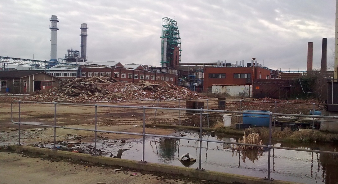
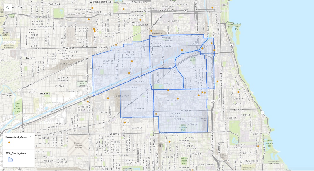
There has been a long history of industrial activity within the Southwest side of Chicago. Many of the communities within the study area were formed by immigrants seeking job opportunities in industrial facilities within the regions industrial corridors (Reif, Keating & Grossman, 2005). Over time, many of these facilities became obsolete, and they were abandoned. Industrial or commercial properties suspected to contain hazardous substances are classified as brownfields. These large pieces of land are a major impediment for growth since the potential presence of contaminants complicates their reuse or redevelopment. This long history of industrial activity within the southwest side of Chicago has fostered a prevalence of brownfields.
Summary of brownfields within the Southwest Environmental Alliance study area
| Neighborhood | Number of brownfields | Total acreage | Chemicals on site | Medium |
|---|---|---|---|---|
| Chinatown | 3 | 10.28 | Lead, petroleum products, PAH, other materials | Soil, groundwater |
| Little Village | 2 | 3.68 | Lead, PAH, VOC, arsenic, mercury, SVOC, petroleum products, other materials | Soil, groundwater |
| New City | 6 | 19.31 | Data unavailable | Data unavailable |
| Lower west side | 1 | 2 | Data unavailable | Data unavailable |
Report hub: identifying environmental hazards within southwest Chicago
Modified on April 19, 2021